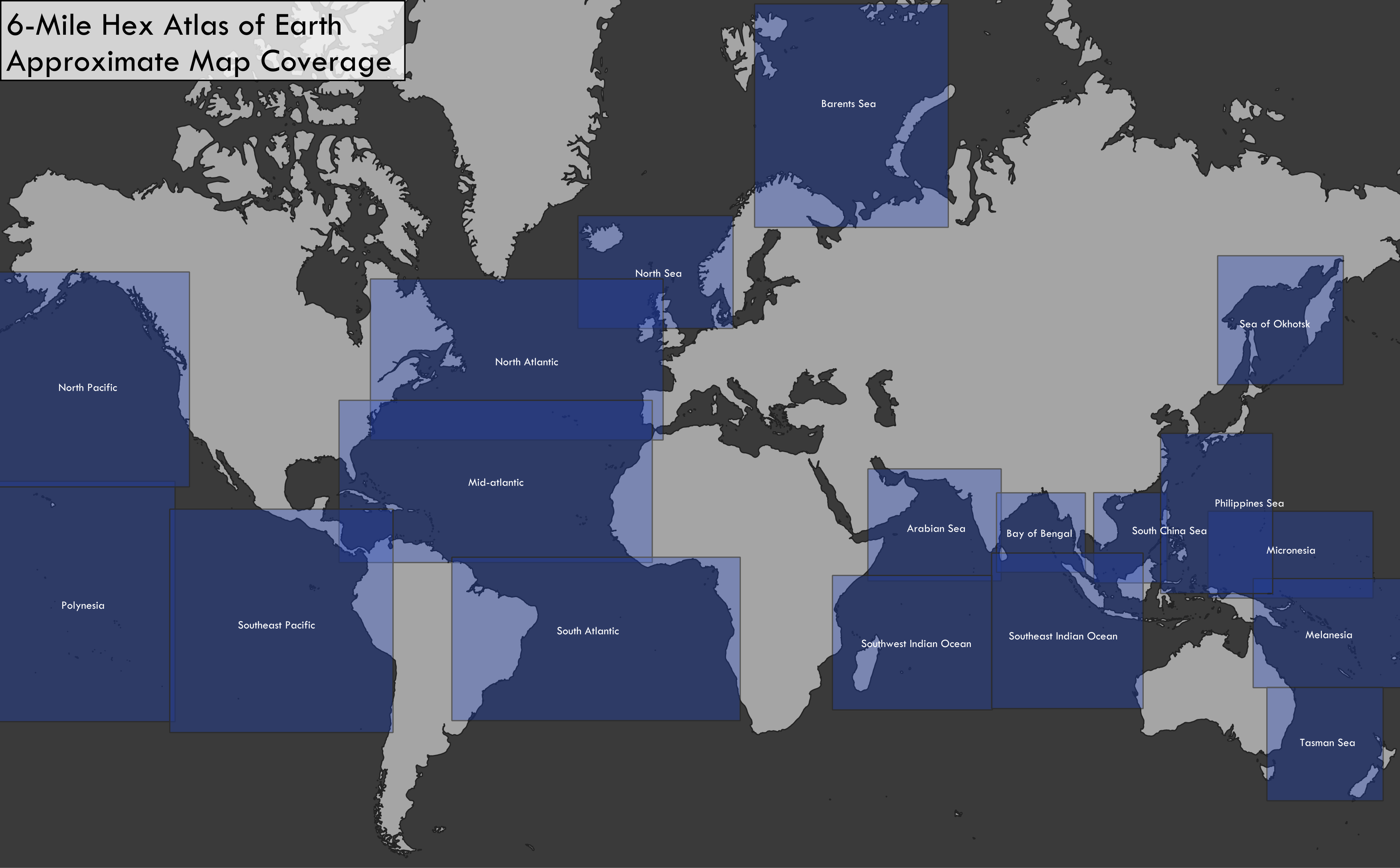
Amazing! Thank you very much! If it's alright, can they be in your original colored hex style like the rest of the 6-mile earth maps for consistency sake?
On an only slightly related note I was wondering to myself (and now this does seem like a completely separate task) but with hypsographical data it might be possible to create a map of the ocean with the colour of each hex corresponding to the maximum depth of the water column.
Something like 5 shades of blue, getting progressively darker as the maximum depth shifts from neretic (200m), twilight (1000m), midnight (4000m), abyssal (6000m), and hadal (11000m). It would be amazing and useful for aquatic rpgs to see the continental shelf, the drop-off, the abyssal plain, undersea mountain ranges, seamounts, abyssal trenches and the like.
I don't know if you have space on your backburner for such a task, but I do know that https://www.gebco.net/ have very accurate open-source bathymetric data available!