This is really handy, thanks for making it!
A member registered Dec 25, 2022 · View creator page →
Creator of
500 Antarctic hexes to explore
Color-coded magic-user sub-classes for The Littlest Brown Book
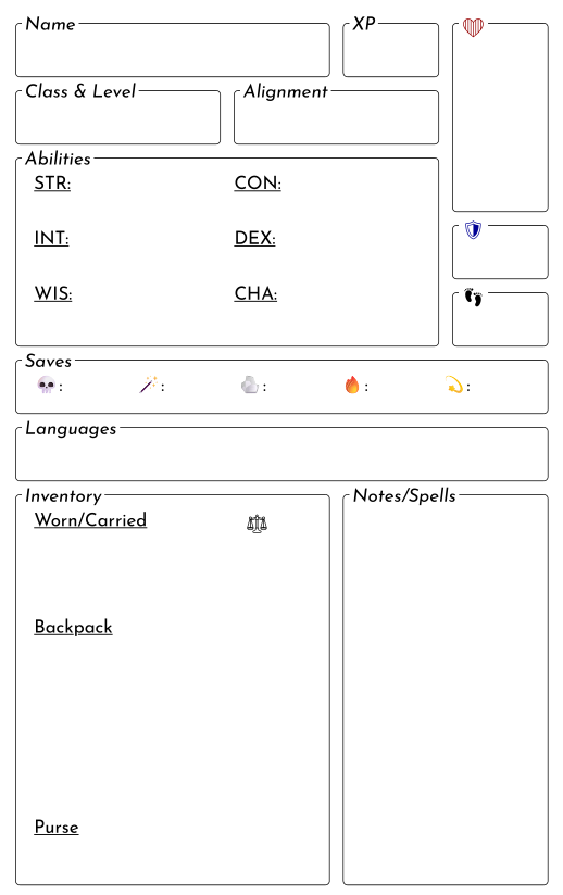
74 Pregenerated NPCs for The Littlest Brown Book
Typst template files for emulating old-school RPG typesetting
An adventure game scenario inspired by a classic pulp novella
Template files for making hexcrawl maps in QGIS
6-mile hexmaps of Ancient Rome
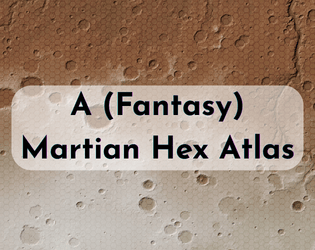
12-mile hexmaps of the Red Planet
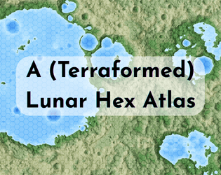
6-mile hexmaps of a terraformed fantasy moon
A scenario for MEATHEADS rpg
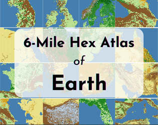
Blank six-mile hexmaps of Terra
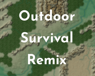
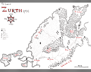
A remixed version of the original hexcrawl map
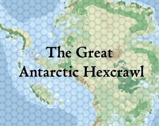
TTRPG hexmaps of Antarctica without ice
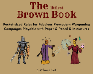
A pocket-sized 0e retroclone
Recent community posts
The 6-mile folder has been updated with some ocean maps – hopefully an adequate starting point for your age of sail campaign. You’ll definitely need to double-check that the desired islands are present & probably should manually label some of the smaller atolls in the Pacific. I also wasn’t sure of your desired scope, but I set up the map coverage for minimal overlap so that one could move off one map and onto the next without too much fudging of distances.
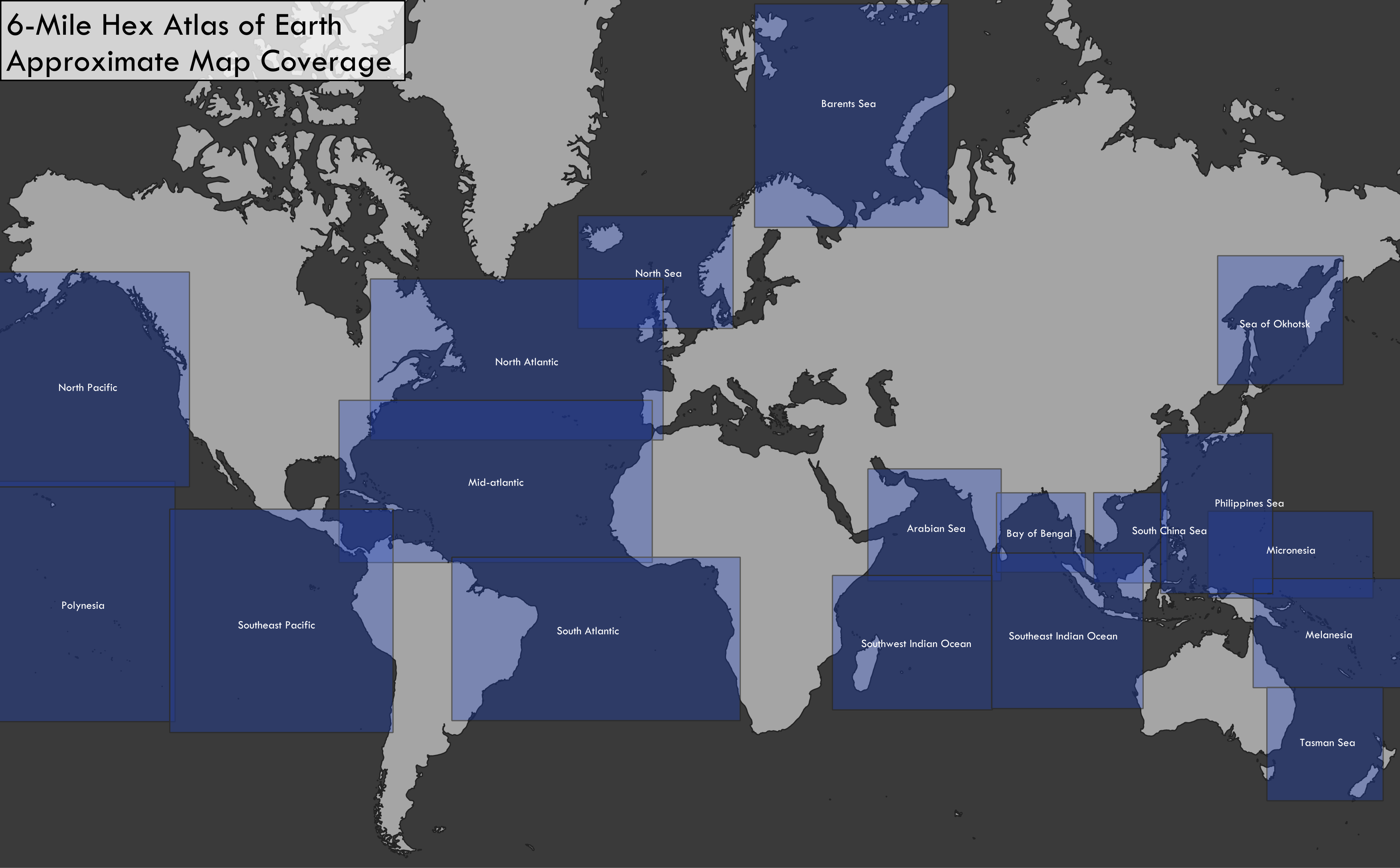
Color-coding hexes by water depth is definitely doable, though building it into this script would take some effort. I find that for maps like these they complicate the visualization a bit since color is already used to denote biome on land, but I definitely see the utility (and arguably depth is loosely analogous to biome in aquatic environments). Will definitely add it to my low-priority to-do list.