
I did not understand. Let me explain my intention. I was trying to simulate Earth and project what it might look like far in the future. The height map of Earth worked great, but underneath, the plates do not match. So, I made the assumption that I would need to upload additional maps to show where the plates reside. Here is the height map: 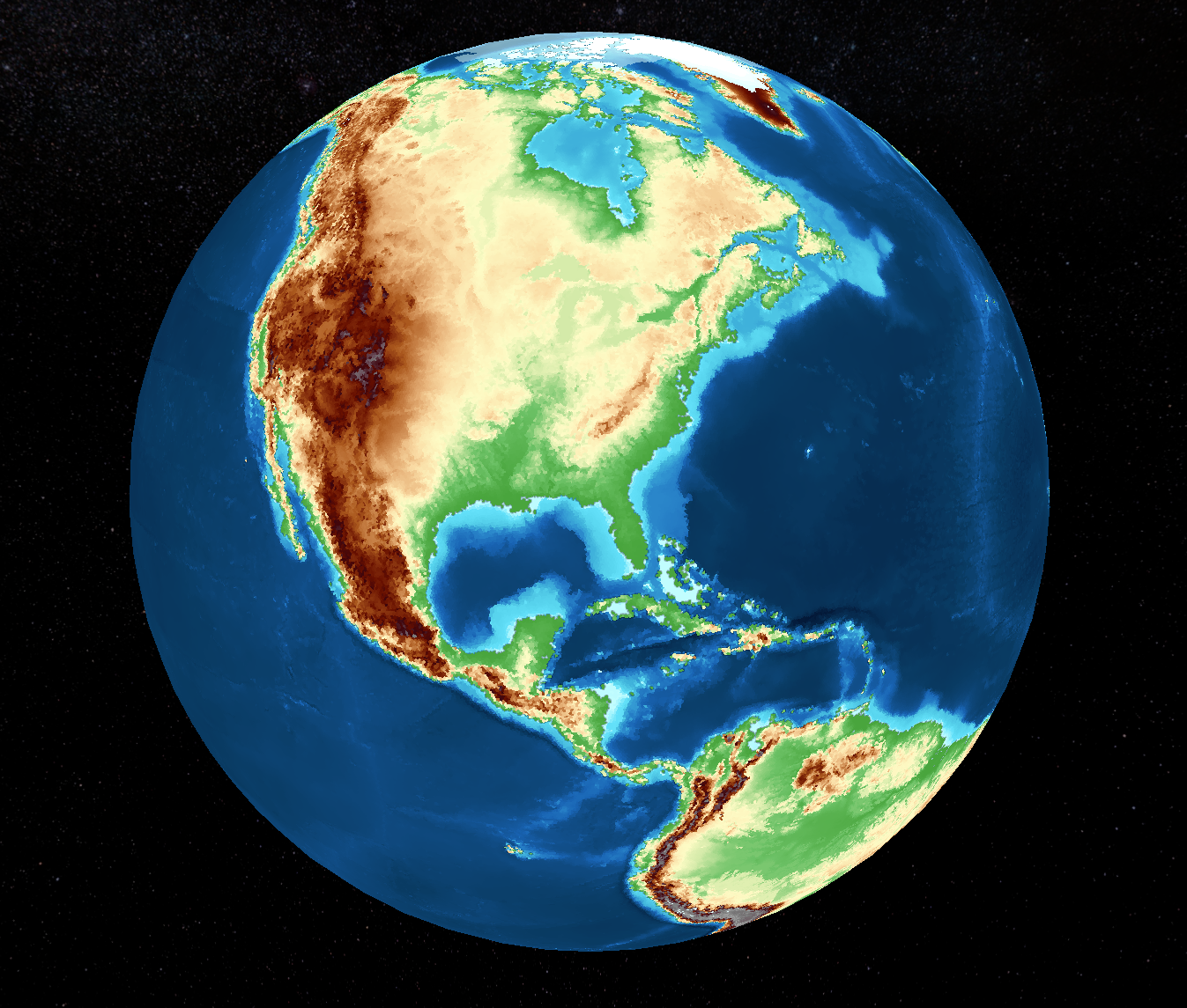
The plate map that was generated for the same location: 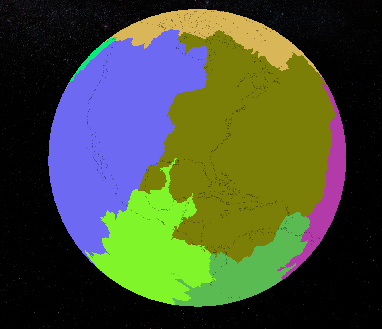
I thought that even a user creating a new world from scratch would want to import heights and plates. The screen that accepts the map imports has all three map options together. Maybe that lead me to believe all three should be uploaded.
I did not mean to lead anyone to believe that the program was not working properly. Sorry for any confusion on my part. Perhaps I did not understand the purpose of the program.
Thank you