
On Sale: GamesAssetsToolsTabletopComics
Indie game storeFree gamesFun gamesHorror games
Game developmentAssetsComics
SalesBundles
Jobs
TagsGame Engines
(+1)

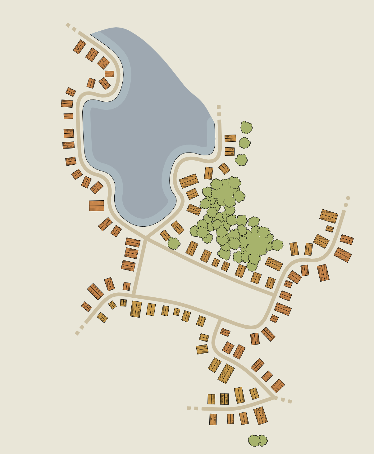
is there a way to denote elevation? like 'show height lines'... feels like it would give a different dimension and allow more random maps... towns have hills or dips in terrain. you might walk down to a lake or body of water in a town, or you land on the shore, and need to walk up a steep incline to the mayor's house. Perhaps there's a berm between the lake and the towns with houses on them. adds to the world building aspects.

just a thought, I can add them with a dark line or similar, but was thinking about a terrain or elevation map...

(+1)

like this map... perhaps the areas to the south are on a hill. or the lake is in a crater at the top of a hill?


(+1)

The method I use to generate these maps cannot take a height map as input, so creating a height map (of a hill for example) first and then aligning streets to it is not an option here. Overlaying the streets with some kind of elevation markers (e.g. contour lines, as you suggested) IS an option, and I'll probably try this in the future, but not anytime soon.

If elevation is important for you, you can try using Village Generator with its hachures and shaded ground.

(+1)

awesome, thank you!