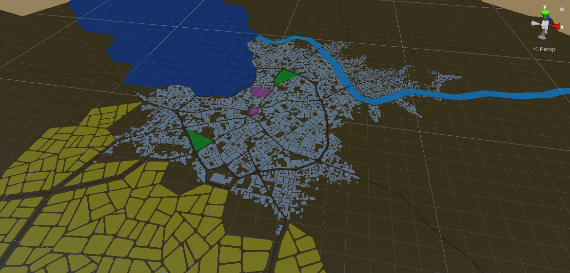
Correct me if I'm wrong but the coordinates in GeoJSON are
x = longitude in degrees
y = latitude in degrees
I'm not sure I understand the units the "values" use. Like for example :
"roadWidth": 0.00007207207207207208
What is that value in reference to? Is it longitude or latitude?